ARROW HIGHWAY MULTIMODAL REGIONAL CORRIDOR PLAN
Supported by the SGVCOG and the Southern California Association of Governments (SCAG), the Arrow Highway Multimodal Regional Corridor Plan aimed to develop recommendations for bicycle and pedestrian enhancements along Arrow Highway and surrounding streets to improve east-west mobility, safety, and connectivity within the Cities of Claremont, Glendora, La Verne, Pomona, and San Dimas. Based on community feedback, the Arrow Highway Multimodal Regional Corridor Plan recommends that sidewalks, crosswalks, bikeways, lighting, and other new facilities be developed or enhanced to provide safe places for residents and commuters to walk, bike, and roll.
PROJECT INTRODUCTION
The Arrow Highway Multimodal Regional Corridor Plan’s proposed east-west multimodal routes will connect the Cities of Claremont, Glendora, La Verne, Pomona, and San Dimas to each other and to important destinations within the communities. Proposed multimodal facilities will also connect to regional transportation options. While the recommendations focus on connecting the five cities, they also provide connections to local destinations and improved facilities for walking, biking, and rolling within local neighborhoods.
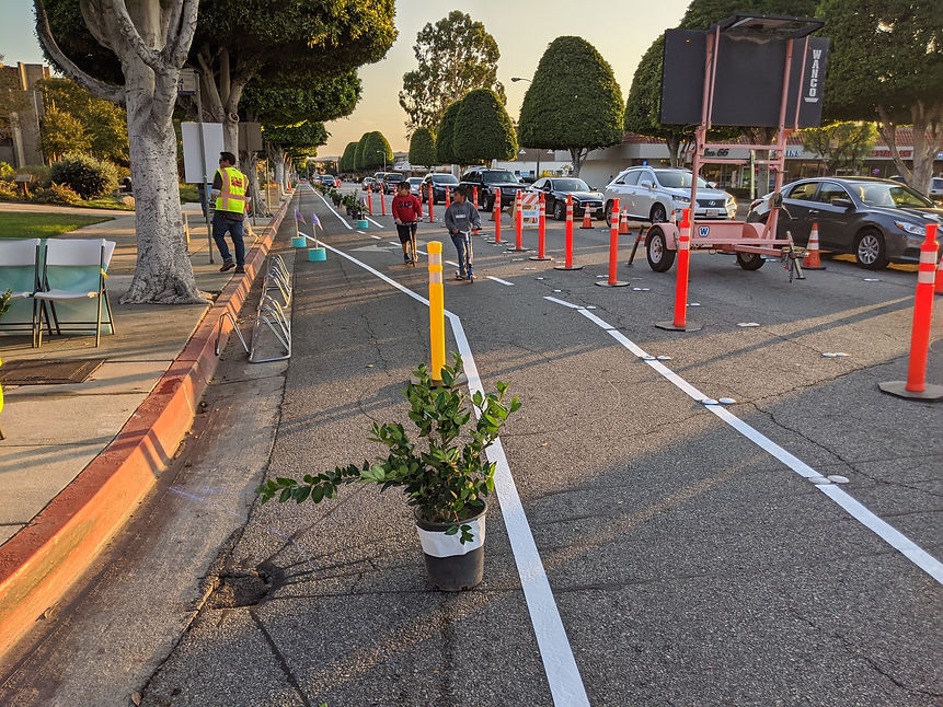
The Plan concludes that the long-term transformation of Arrow Highway will encourage active transportation by providing protected bike/roll lanes and improved crossing opportunities throughout the corridor.
%20-%20No%20Text.jpg)
_edited_edited_edited.jpg)


